

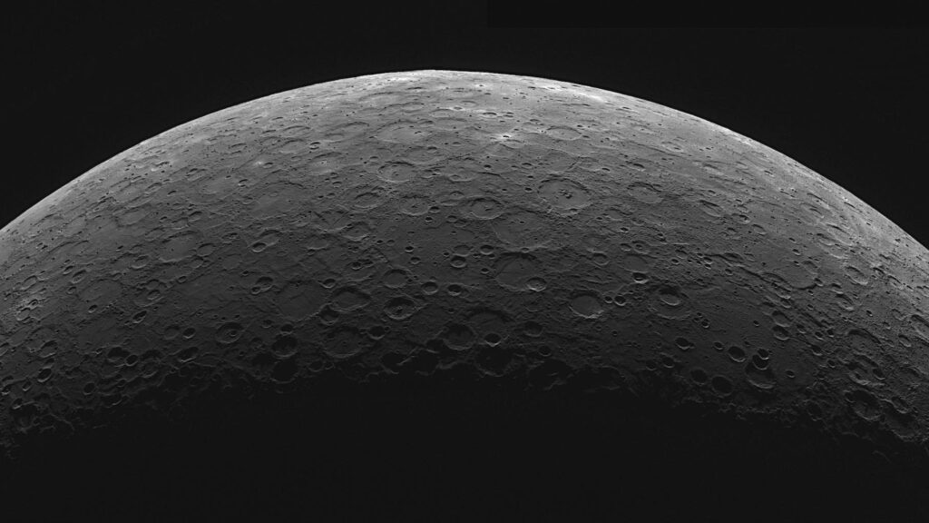
MESSENGER did its best to map shortening structures across the entirety of the planet, but two things made that job a challenge. For starters, the more powerful of its two imaging systems, the laser altimeter, could not operate effectively if the spacecraft was more than 930 miles away from the planet—a proximity it reached only when it was over Mercury’s north polar region during its sweeping elliptical orbits; at other points it was as much as 9,500 miles distant. The dual-imaging system could survey the surface during those more remote approaches, but it did not produce the detailed three-dimensional pictures the laser altimeter did.
Then…
Read the full article at TIME.COM