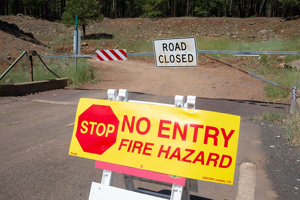
Wildfire season in Arizona can be unpredictable, so it’s important for travelers to know what to do if they happen upon one and how to avoid closed roads.
Roads may be unexpectedly closed for several miles and for several days as firefighters and others work to suppress a fire. The status of roads near blazes can also change quickly, causing drivers to make last-minute adjustments to their travel plans.
A handful of solid resources exist when needing to pinpoint a fire and track down how it may affect your travel plans. Here are a few sites and accounts to check before you hit the road during Arizona’s wildfire season.
Updates: See the latest on wildfires burning in Arizona
InciWeb
InciWeb is a great resource when needing to see what fires have started and are spreading. It tracks fires across the United States. The site allows you to search incidents, down to the state, and provides users with a map of the area as well as incident information, agency contacts and overall containment for each fire.
To access InciWeb, visit inciweb.nwcg.gov.
US Forest Service Safety Map
Similar to InciWeb, the U.S. Forest Service provides up-to-date information pertaining to forest orders, fire restrictions and active fires reported in Arizona and across the country.
Additionally, users can see alerts and updates for several national forests in Arizona, as well as effective regional restrictions and orders.
AZ511
AZ511.gov works as a tool to get up-to-date roadway information on what is happening across the Grand Canyon State. Road closures, weather alerts and message boards are constantly updated to let motorists know what to expect on their way out.
To plan out a trip ahead of time, visit az511.gov.
Your local sheriff’s office
Often during wildfires, your local sheriff’s office will provide updates, likely via their website or social media. These updates will normally include the location of the fire, potential roadways impacted, and — in worst-case scenarios — evacuation orders.
A comprehensive list of information for all Arizona sheriff’s offices can be found on the Arizona Sheriff’s Association website.
Social media
Social media platforms like Twitter and Facebook can serve as reliable sites to receive updates from local law enforcement or agencies on potential fires brewing in the area.
Some institutions that provide valuable fire information on social media during Arizona wildfire season are:
Safety tips for driving near wildfires
For overall vehicle etiquette, the Pima County Sheriff’s Department advises those on the road to keep the following in mind:
-
Do not linger to take photo or videos and put yourself or others in a dangerous situation.
-
The wind can change suddenly and often (prepare for road closures to move).
-
Visibility will change rapidly with wind and fire intensity.
-
Drive with your headlights on.
-
Keep a safe following distance at all times.
-
Avoid the area and situation if at all possible.
DriversEd.com, an online drivers’ education provider offering licensed courses in more than 30 states, heavily echoes the sentiment of avoiding the area at all costs. However, if you must trek forward, the site recommends these guidelines:
-
Make sure to keep your gas tank full to avoid running out of fuel when escaping.
-
Put your AC on the recirculate setting and close all vents.
-
Wrap exposed skin in dry fabric to keep radiant heat off of you.
This article originally appeared on Arizona Republic: Arizona wildfire road closures: How to check which highways are closed
Read the full article here


